Effective and secure information management tools play a crucial role in improving operations and enabling national responses in mine action.
At the forefront of this effort, the GICHD serves as a key provider of information management advisory services and support for explosive ordnance risk reduction. With its mission to equip partner organisations with modern tools and know-how, the GICHD aims to support national authorities in making evidence-based operational and strategic decisions.
This is achieved by providing modern, secure and reliable information management systems which compile, store, analyse and share information that is timely and accurate. To ensure these systems are used effectively, the GICHD offers capacity building to align processes, technology and data with skilled personnel.
IMSMA Core – the GICHD's information management tool
The GICHD developed the Information Management System for Mine Action (IMSMA), with the latest version called IMSMA Core. We constantly adapt IMSMA to use the latest technology available to better gather, analyse, and visualize data. To support national authorities and partners at all levels of critical decisions, the latest generation of IMSMA (IMSMA Core) is built by configuring geographic information systems (GIS) tools, primarily from Esri.
IMSMA Core Story Map
IMSMA Core is a system of tools and processes that can be configured to fit programmes’ specific operational and reporting requirements, which provides access to a wide range of stakeholders, fosters information sharing, and provides real time maps and reports on the extent of contamination. To gain a better understanding of how IMSMA Core works, please check out our IMSMA Core microsite, which walks you through the key features and functionalities of IMSMA Core, allowing you to explore its capabilities and discover how it can help you to manage and respond to explosive ordnance risks.
Information Management eLearning Modules
Learn more about GIS and IMSMA CORE through these self-paced online modules and discover that this technology plays an important role in many aspects of our lives. Disaster recovery, environmental management, and peacekeeping operations are just a few uses for geographic information systems. The GICHD and its partners also use GIS to reduce the impact of mines and other explosive ordnances (EOs) throughout the world.
The modules are intended for participants from National Mine Action Programmes and their Operating Partners who are or will be posted to Information Management positions within their respective organisations.
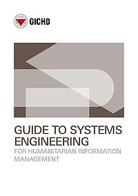
Guide To Systems Engineering For Humanitarian Information Management
This Guide introduces theoretical and practical methods for using systems engineering to deploy information management systems that support mine action, peace monitoring, disaster risk reduction and other humanitarian initiatives. Systems engineering enables the successful design, deployment, operation and decommissioning of systems.
The Origins of IMSMA
In 1998, ETH Zurich and the Geneva International Centre for Humanitarian Demining (GICHD) embarked on a project to create a standardized information management system for mine action.
The resulting tool, IMSMA (Information Management System for Mine Action), was designed to collect, analyse, and visualize critical data to support demining efforts worldwide.
Within the scope of our persistent drive for continuous improvements, LMAC has ongoing implementation of the IMSMA core. The system allows for effective and rapid data collection, easy access to information for better informed decision-making, and enables any authorized user, including donors, to have an up-close view of all relevant mine action statistics and activities, in particular the progress of land release operations.
Information Management Publications
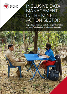
Inclusive Data Management in the Mine Action Sector
At the GICHD, we are challenging how data practices in the mine action sector address gender, diversity, and equality, through a comprehensive exploration of interpretations of gender, diversity, and the do no harm principle...
- Available in English
Guide To Systems Engineering For Humanitarian Information Management
The Guide to systems engineering for humanitarian information management introduces theoretical and practical methods for using systems engineering to deploy information management systems that support mine action, peace...
- Available in English
Enhancing Humanitarian Mine Action in Angola with High-Resolution UAS Imagery
The peaceful use of unmanned aerial systems (UAS) increases significantly when their cost and complexity are reduced. Fully autonomous, ultralight unmanned aerial vehicles (UAV) are now commercially available. There are numerous...
- Available in English
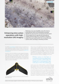
Enhancing Mine Action Operations with High-Resolution UAS Imagery
Following a two-year feasibility study, The Geneva International Centre for Humanitarian Demining (GICHD) last year moved its unmanned aircraft system (UAS) program into its operational testing phase, working with The HALO Trust...
- Available in English
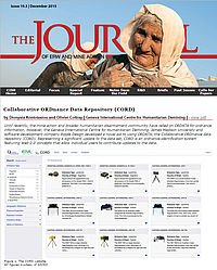
Collaborative ORDnance Data Repository (CORD)
Until recently, the mine action and broader humanitarian disarmament community have relied on ORDATA for ordnance information. However, the Geneva International Centre for Humanitarian Demining, James Madison University and...
- Available in
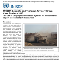
UNISDR Scientific and Technical Advisory Group Case Studies 2015 | The use of Geographic Information Systems for environmental impact assessments in Mine Action
The 'do no harm' approach to mine action requires that mine action organisations consider the possible negative impacts of mine clearance operations. They must ensure they do not lead to longer-term vulnerability or threaten...
- Available in English
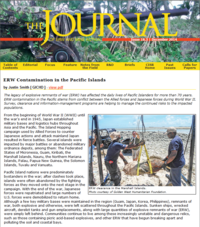
ERW Contamination in the Pacific Islands
The legacy of explosive remnants of war (ERW) has affected the daily lives of Pacific Islanders for more than 70 years. ERW contamination in the Pacific stems from conflict between the Allied forces and Japanese forces during...
- Available in English
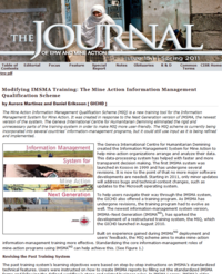
Modifying IMSMA Training: The Mine Action Information Management Qualification Scheme
The Mine Action Information Management Qualification Scheme (MIQ) is a new training tool for the Information Management System for Mine Action. It was created in response to the Next Generation version of IMSMA, the newest version...
- Available in English
Information Management Team

Anna Paiuc
Advisor, Information Management
Erkin Huseinov
Advisor, Capacity Strengthening
Eleanor Cervigni
Advisor, IMSMA
Harry Kendall
Geoservices Technical Advisor, IMSMA
Henrik Rydberg
Programme Manager, IMSMA
Noor Zangana
Programme Manager, Capacity Strengthening